
Phase 1: Context of Public Transport
Concepts only get their meaning through the context in which they are used. Take the concept ‘share’. Do you read it as a verb or as a noun? To prevent confusion it is important to add the right context to concepts coming from an informational system.
The context for the concept ‘public transport’ is ‘The Netherlands’ in the following example. Okay, so we are not talking about a bus in India where travellers can also sit on the roof. This is good to know. The concept ‘The Netherlands’ does not need explaining right? It a general term, not a business term.
What is the relationship between Public Transport and The Netherlands?
Geography
We choose to take the physical bus stop location as a limitation. If the GPS position is in The Netherlands, it falls into the context. Looking at international lines, such as the Flixbus to and from Paris, we take the last and first stop in The Netherlands.
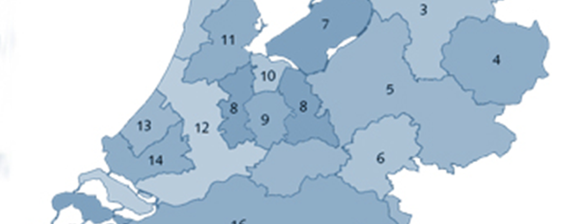
However, there is still something left in between that bus stop and the Dutch border. For this purpose, we created provinces, divided these into municipalities, which are subdivided into neighbourhoods and into blocks. This division makes for a connection to the provider of the data. If something in this geographical structure changes, TMWalker changes too.
What does this add? This way, we can show all kinds of quantities and transport flows on multiple levels and on a map.
Organisational
The government used to be charged with the funding of public transportation. Nowadays, that responsibility of city and regional transport lies with 18 PT authorities, divided into geographical areas. These authorities are usually a combination of municipal and provincial allies.
PT authorities divide multiple ‘concessions‘ over PT companies, which sometimes divide these amongst themselves. We receive the PT data of almost all PT companies and since we also know the geographical location of the bus stops, we can show a complete image per PT company and per PT authority. This could be useful if a public transport company wants to run for a new concession, but they do not have any data about it yet.
The next phase will depict the public transport network of an area or carrier. See our next blog; ‘Description of a network: Topology’.
0 Comments